Flight paths and flight procedures

© Shutterstock

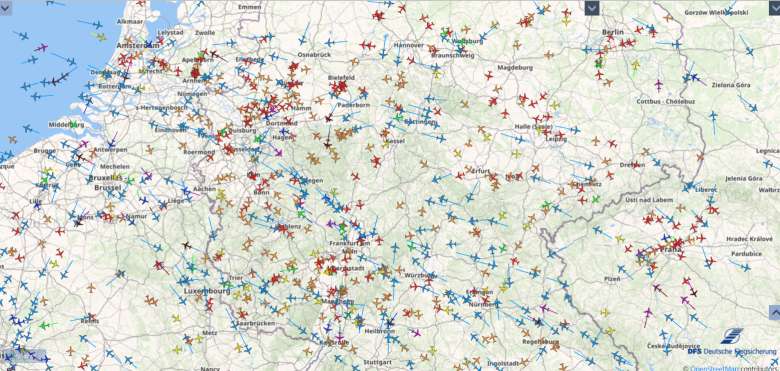
How many aircraft are flying in the Rhine Main area? How high are aircraft flying as they approach Munich Airport? What route do pilots take after taking off from Berlin Brandenburg Airport? Our radar data system STANLY Track allows you to track current aircraft movements in German airspace. At the top right, you can set a filter for different airports. At the top left, you can create a history over a certain period of time.
